Coastal Resources Program

Coastal Resources Program Director

Stephen Jones
Phone: 205-247-3601

The Coastal Resources Section conducts research within Alabama’s coastal zone to increase our understanding of beach and shoreline change, environmental quality, and land use, and to acquire and develop supporting digital themes and data sets

Coastal assessments provide resource managers and community planners with information critical to balancing sustainable growth and protecting the natural resources of our coastal areas.

Recent section activities include Beach Assessments, investigation of Sand Resources, GIS and Remote Sensing, and GIS Support during natural disasters.

coastal resources logo


Beach Assessments

A thorough understanding of coastal processes is critical to maintaining Alabama’s gulf-front beaches on Dauphin Island and Baldwin County, which contribute significantly to the local and state economies ( Alabama Gulf Coast Convention & Visitors Bureau ).

The AL Dept. of Conserv. & Nat. Res. - State Lands, Lands Division, Coastal Section and the Geological Survey of Alabama (GSA), initiated a cooperative project, the “Gulf-fronting Shoreline Monitoring Program,” to compile historic information and acquire new data to refine our understanding of beach and littoral zone morphological change in response to natural, catastrophic, and engineered processes.

aerial photograph of Dauphin Island
coastal figure


Beach Assessment Photo 3 Beach Assessment Photo 4

Sand Resources

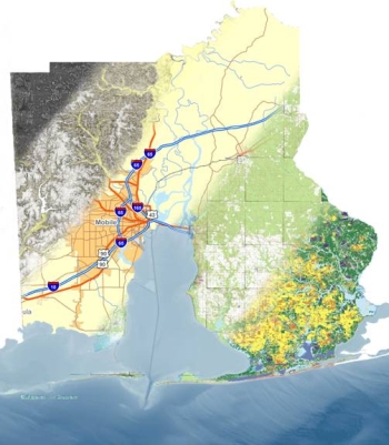
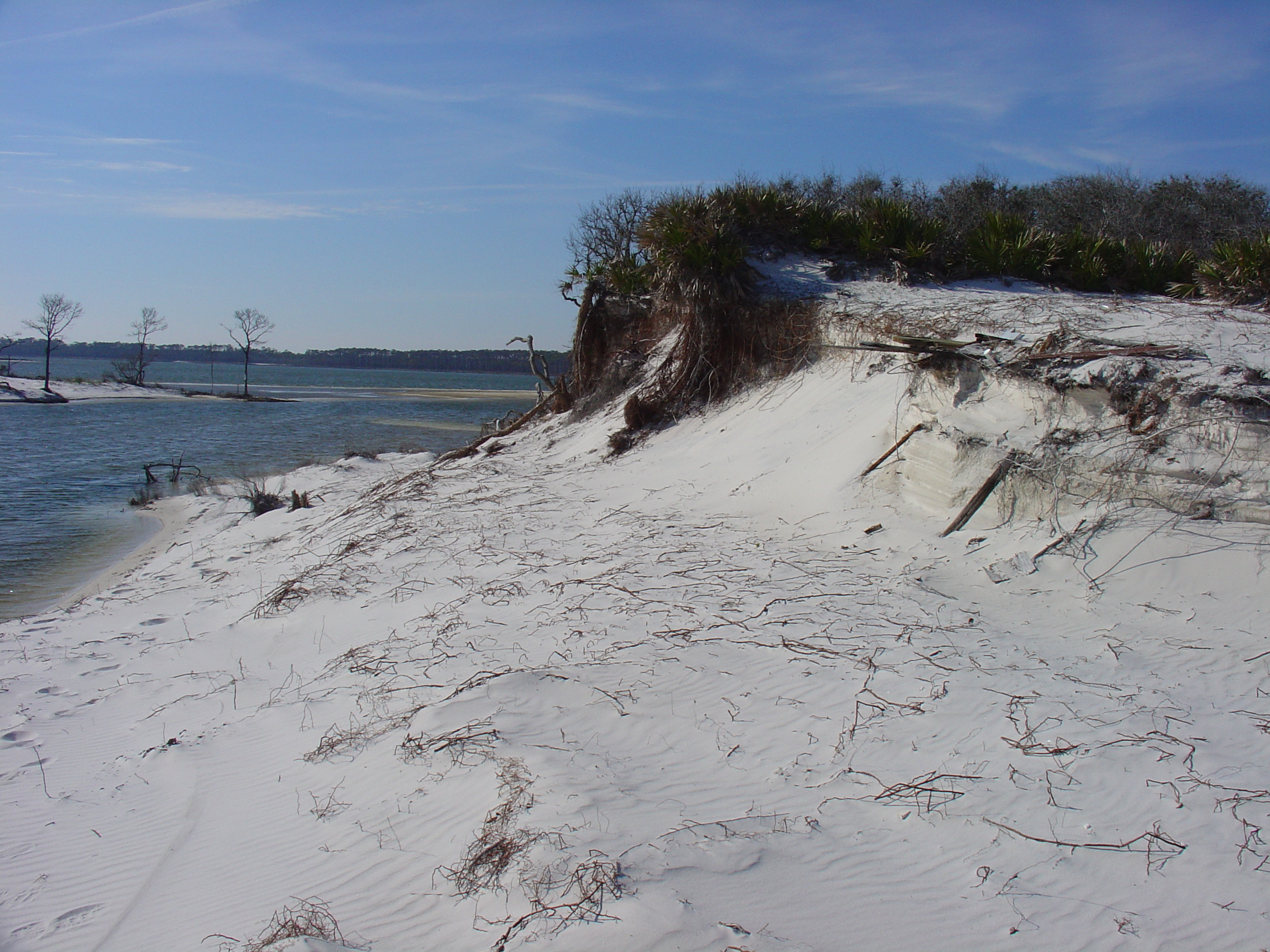
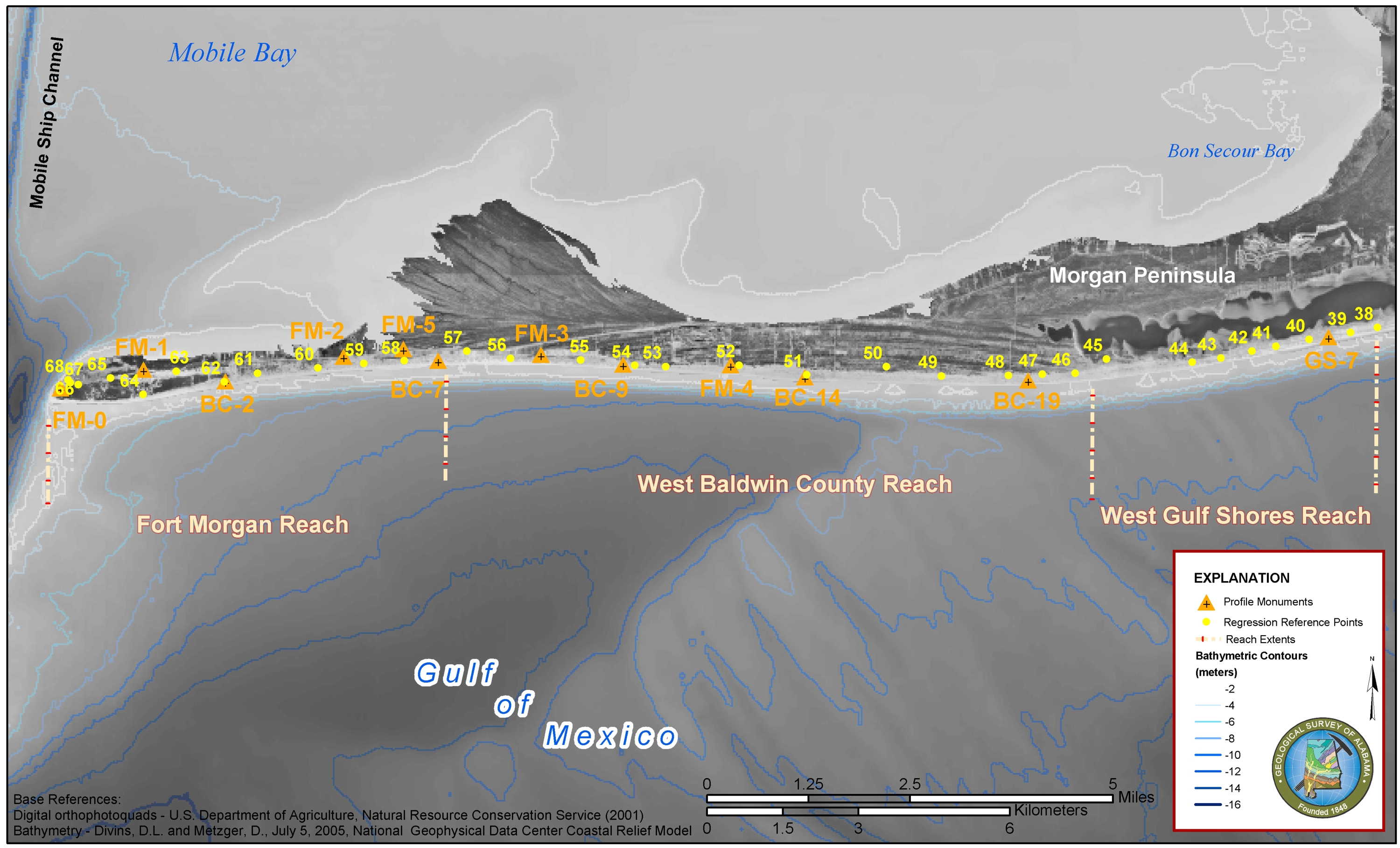
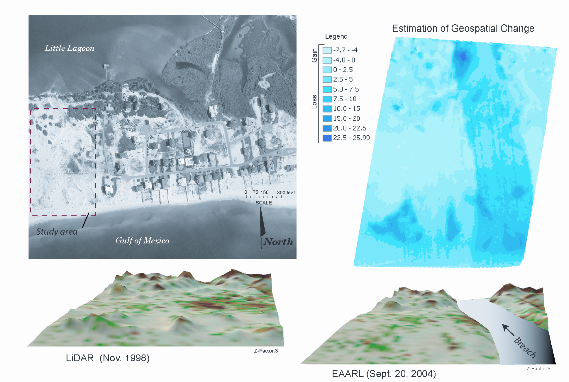
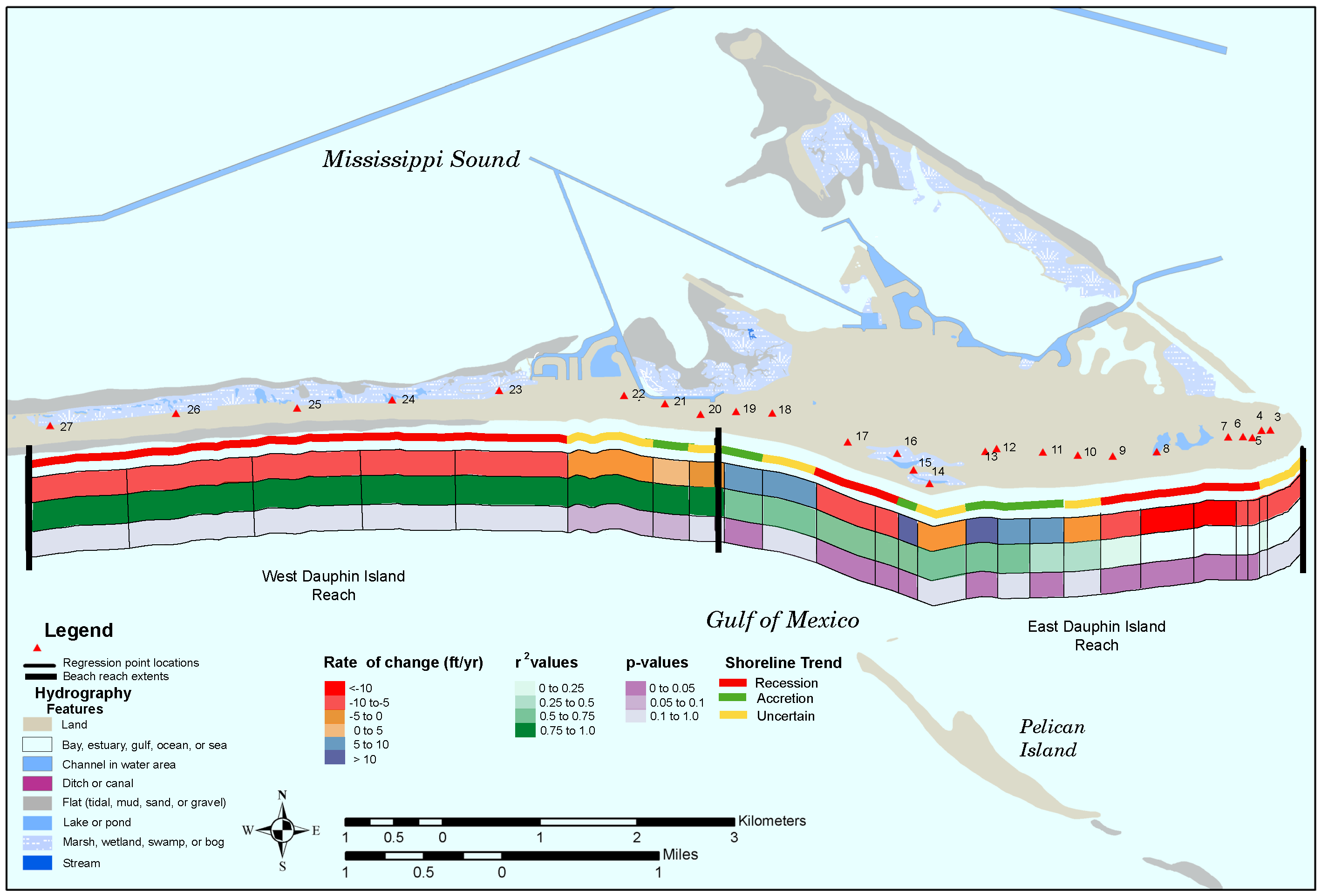
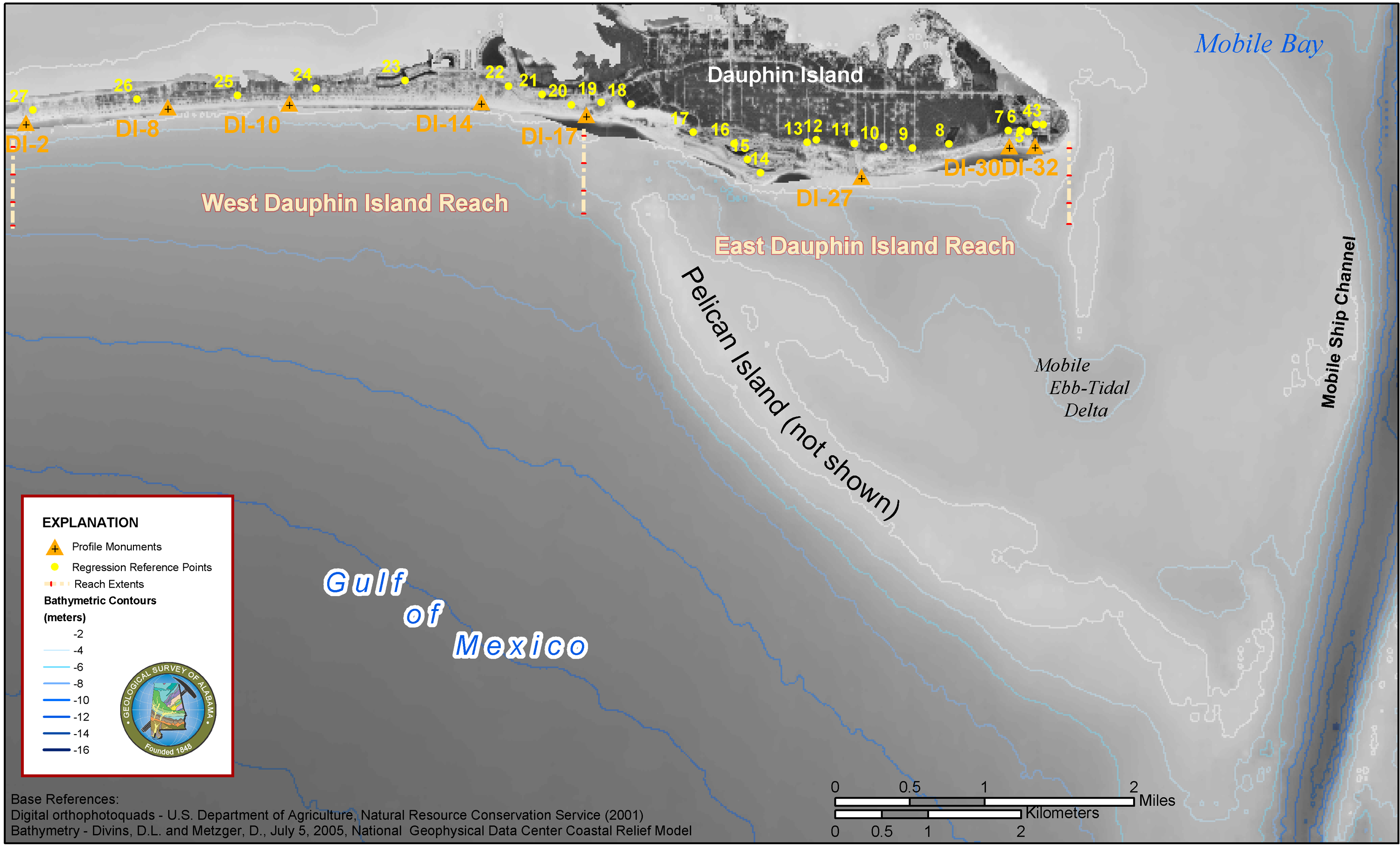
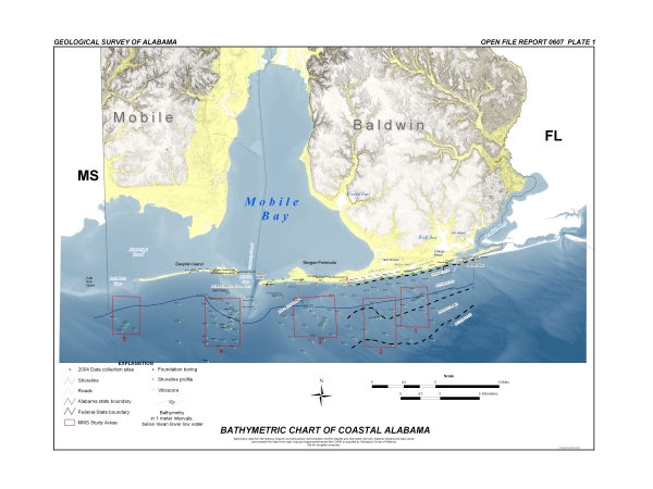
The Sand Resources project is a cooperative study between the U.S. Minerals Management Service and the GSA. The main purpose of this study is to identify sand resources on the Gulf of Mexico’s inner continental shelf suitable for beach nourishment programs. As nearshore beach quality sand reserves are depleted, it is imperative that new sources of sand are found to repair eroded beach areas. Other project objectives include the investigation, coastal erosion, and the evaluation of nonfuel mineral resources. The report, titled “Sand-Quality Characteristics of Alabama Beach Sediment, Environmental Conditions, and Comparison to Offshore Sand Resources: Annual Report 2,” is available as Open-File report 0607 and is dated June 2006.

Sieve data are available for samples from Alabama beaches and dunes, and from state and federal waters offshore Alabama. The accompanying Microsoft Excel files contain raw data collected at the Geological Survey of Alabama. For analytical methods and other information related to these data see:

Kopaska-Merkel, D. C. and Rindsberg, A. K., 2005, Sand-Quality Characteristics of Alabama Beach Sediment, Environmental Conditions, and Comparison to Offshore Sand Resources: Alabama Geological Survey Open-File Report 0508 (on CD-ROM), Annual Report 1 under U.S. Minerals Management Service Cooperative Agreement 1435-01-04-CA-34423. and Rindsberg, A. K., and Kopaska-Merkel, D. C., 2006, Sand-Quality Characteristics of Alabama Beach Sediment, Environmental Conditions, and Comparison to Offshore Sand Resources: Alabama Geological Survey Open-File Report 0607 (on CD-ROM), Annual Report 2 under U.S. Minerals Management Service Cooperative Agreement 1435-01-04-CA-34423.

Sand Resources Project Map

Alabama offshore particle-size data collected before 2001.xls -- these data were collected offshore during the 1990s but were not published until 2005. Data collected from 59 bottom-grab samples.

Alabama beach and offshore particle-size data 2005 sand resources project.xls – these data were collected in 2004 from vibracores that were collected during the 1990s and from beach samples collected in 2002 and 2003. Half phi sieves from -2 to +4 phi. Data colected from 33 beach and vibracore samples.

Alabama beach particle-size data 2002-2004 sand resources project.xls -- these data were collected from 2002 through 2004 from beach samples collected in those same years. Quarter phi sieves from -2 to +4 phi. Data collected from 74 beach and dune samples.

Alabama federal waters particle-size data collected before 2001.xls -- these data were collected in federal waters during the 1990s but were not published until 2005. Half phi sieves from -2 to +4 phi. Data collected from 65 vibracore samples.


GIS and Remote Sensing

Geographic Information System (GIS) and remote sensing platforms are an integral part of the Coastal Resources Section. GIS technology is used to develop, maintain, and disseminate high-quality, accurate geospatial data related to minerals, energy, geomorphology, water, and other aspects of coastal Alabama.

These data can be used to provide geospatial analyses and other decision-support tools to technical and non technical governmental, private, and academic entities. In addition to these support roles, several GIS-centered projects have been developed by the GSA.


GIS Support

The GSA Coastal Resources Section provides Alabama Emergency Management Agency (AEMA) with GIS support of strategic disaster recovery initiative.

Information required for efficient response in emergency situations is most effective when displayed spatially on appropriate geographic basemaps. GIS technology allows critical data to be centralized, accessed, and visually displayed with minimal delay. By using GIS, all AEMA departments and response teams can share information through databases to computer-generated maps that can be remotely acquired.

The GIS platform provides critical information to emergency responders and government officials, which, in times of crisis, can translate into lives saved. When activated, the GSA currently provides support to the AEMA Emergency Operation Center by providing online and hardcopy visualizations of digital data on demand. Examples of these are provided below.

Map of Alabama Cities within two miles of Hurricane Dennis Path
Map of ability to execute distribution
Map of population density affected by hurricane dennis
Map of Red Cross Shelters
Hurricane Dennis Distribution Map
Hurricane Dennis staging and distribution map